In search of a quick peak I could get in before rain came into Western Washington that afternoon, I chose Bald Mountain (East Peak) near Spada Lake. I had wanted to explore the Mountain Loop more and the Walt Bailey trail seemed like a great choice for a short trip with good fall color.
The forest service road up to the Mallardy Ridge Trailhead was in immaculate condition and I got started around 8:45 am. The trail was semi-rugged, but still allowed for some fast travel, and I was quickly entering an area with some tarns and small lakes. I pushed on, climbing some switchbacks to reach the Cutthroat Lakes basin. The lake area was very nice, with some vibrant red fall color and deep green colored lakes. It was also extremely quiet, there was just one other group backpacking on the shores of the upper lake.


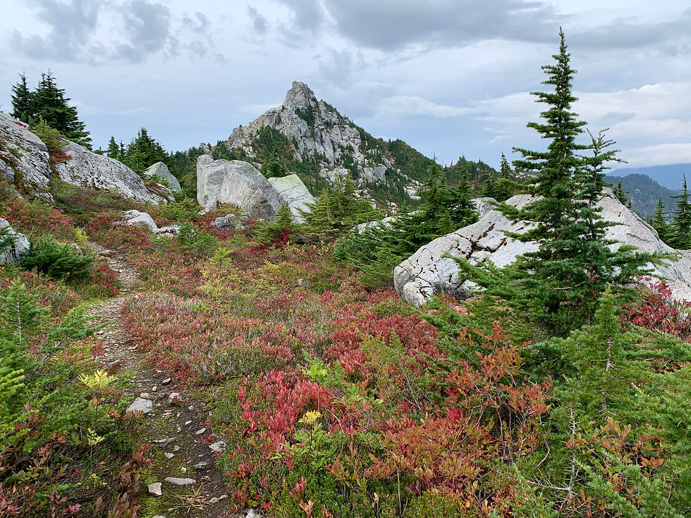
I zipped on by the upper lake, following a path I thought would lead me up to the ridge beyond and the east peak of Bald Mountain. I somehow got off track, following a faint bootpath that ultimately petered out in a meadow. Here I resolved to just head straight up cross-country until I found the trail again. The terrain was open and easy except for a ten-foot section of thick brush, and I felt pretty silly when I rejoined the obvious trail shortly after. From here it was easy travel past one spectacularly red section of blueberry bushes (it was a curiously bad year for berries, but the colors were still spectacular) until I reached the ridgeline above the lakes. The east peak of Bald Mountain rises to an impressive point from this vantage.

From here, the path gets a bit overgrown but is still easy to follow. I was glad I was coming through before the rain, though! After traversing a bit, some class 2/easy 3 scrambling brought me to the summit! For being a peak with a relatively modest elevation, it had some great views. I liked looking down on Spada Lake and craggy peaks of the Mountain Loop.


I could tell the weather was starting to shift, so I didn’t spend too long on the summit. I quickly packed up and began my fast descent, retracing my steps to the trailhead. All in all, this was a great little trip for fall colors, views, and solitude. My car-to-car time was 3 hours and 15 minutes.


Final Stats: 9.02 miles / 2251 feet of ascent

Comments